
The exhibition ‘Imaging Iceland: the Earliest Printed Maps 1507/08-1598’ is assembled from the collection of Karl Werner and Gisela Schulte. It can be seen at the Akureyi Museum.


|
Monday
|
Tuesday
|
Wednesday
|
Thursday
|
Friday
|
Saturday
|
Sunday
|
|---|---|---|---|---|---|---|
5 events,
The exhibition ‘Imaging Iceland: the Earliest Printed Maps 1507/08-1598’ is assembled from the collection of Karl Werner and Gisela Schulte. It can be seen at the Akureyi Museum. 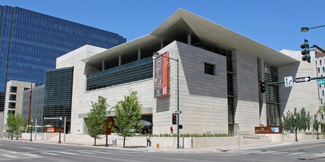
In 1776, two Franciscan priests named Domínguez and Escalante set out from Santa Fe into territory unknown, lands claimed by Spain but controlled by the Tribes who called it home. With Indigenous guides and the help of Native tribes, the Padres and their party of 12 navigated harsh terrain, mapped vital trade routes, and documented [...] 
For America's sesquicentennial (250th) anniversary, the Osher Map Library and Smith Center for Cartographic Education at the University of Southern Maine has organized a year-long exhibition ‘Founding Memories: America at 250’. The exhibition highlights how the iconography of the American Revolution has been incorporated onto a wide variety of maps and cartographic materials from the [...] 
The Union County Museum will feature a new display on a map collection put together from various sources. The collection shows the development of the North American continent with English land grants beginning in 1606, the establishment of the 13 original colonies, the addition of the western lands and the coming of the railroads. Illinois [...] 
The David Rumsey Map Center exhibition, ‘You Are Here’, explores the unique relationship between transit maps and the identity of their subjects. The individual maps in this exhibit serve as a window into the histories of the places they represent and the history of transit cartography as a whole. Jayne Kilander, winner of the 2025 [...] |
5 events, |
6 events,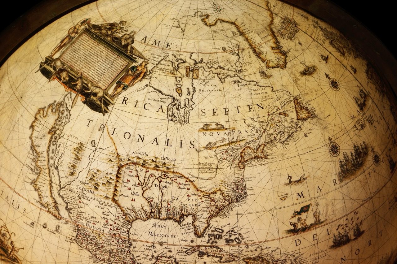
The annual conference of the Society for the History of Discoveries will be held at Memorial University, St. John’s, Newfoundland. In the evening of Wednesday July 29, there will be a reception and presentation. Panels will run on Thursday and Friday, with the Annual Banquet on Thursday evening. The theme of the conference is ‘Islands of Discovery’. [...] |
6 events, |
6 events, |
6 events, |
5 events, |
5 events,
Virtual Event
-
Virtual Event
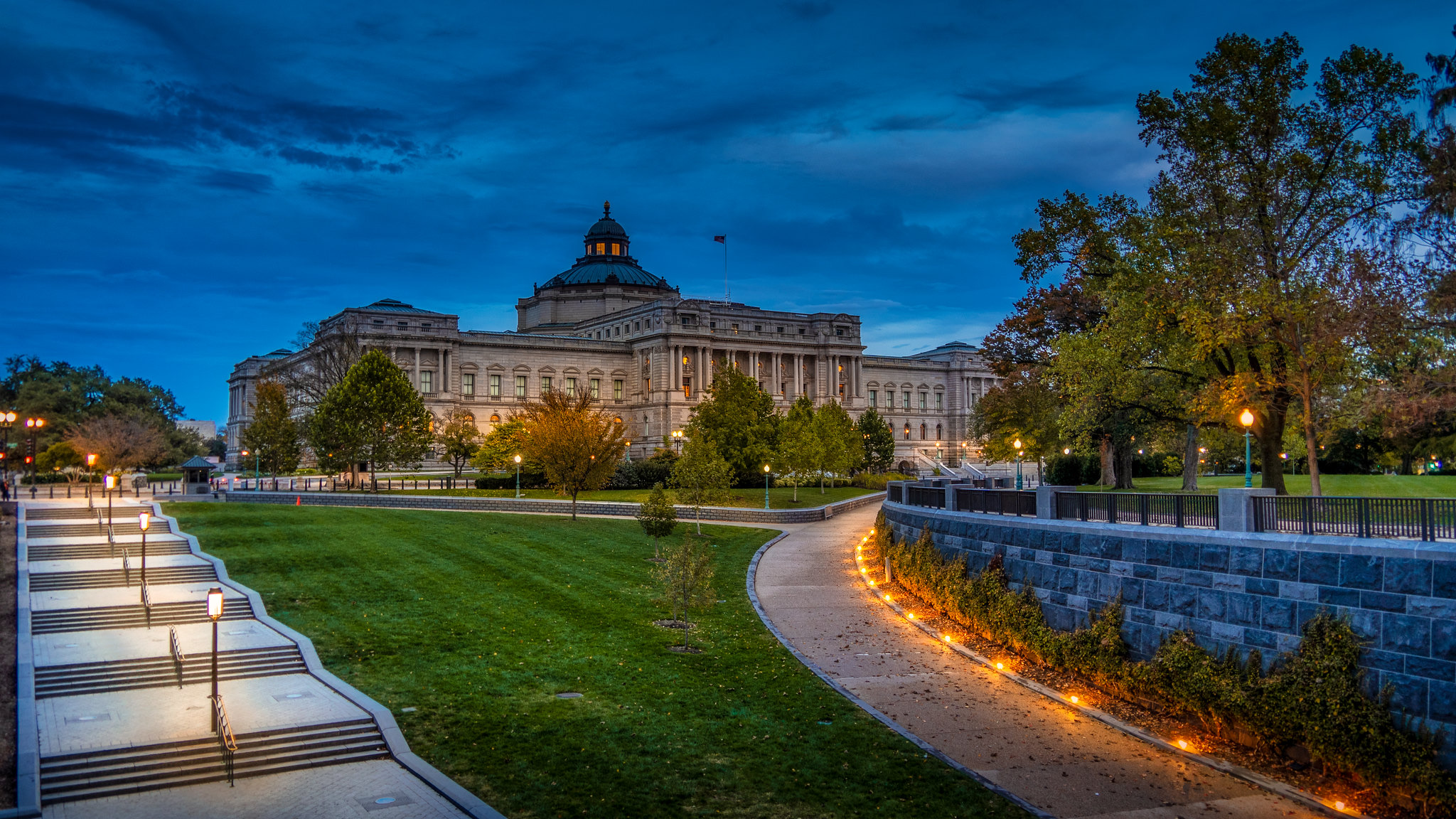
The Geography and Map Division, Library of Congress, is holding a ‘Geography & Map Division Virtual Orientation’ on Zoom. Reference librarians will present an introduction to the Geography and Map collections at the Library of Congress. This general orientation session will highlight a wide range of cartographic formats and subject-matter. The focus of the session [...] |
||||||
2 events,
The Royal Geographical Society-IBG Annual International Conference 2026 will be chaired by Professor Peter Hopkins (Newcastle University, UK), on the theme of ‘Geographies of inequalities: toward just places’. The conference will take place in the Society and in Imperial College London, as well as online. |