Akureyi Museum: ‘Imaging Iceland: the Earliest Printed Maps 1507/08-1598’ Jun 6 Akureyi Museum: ‘Imaging Iceland: the Earliest Printed Maps 1507/08-1598’ June 6, 2024 - September 14, 2026
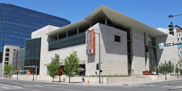
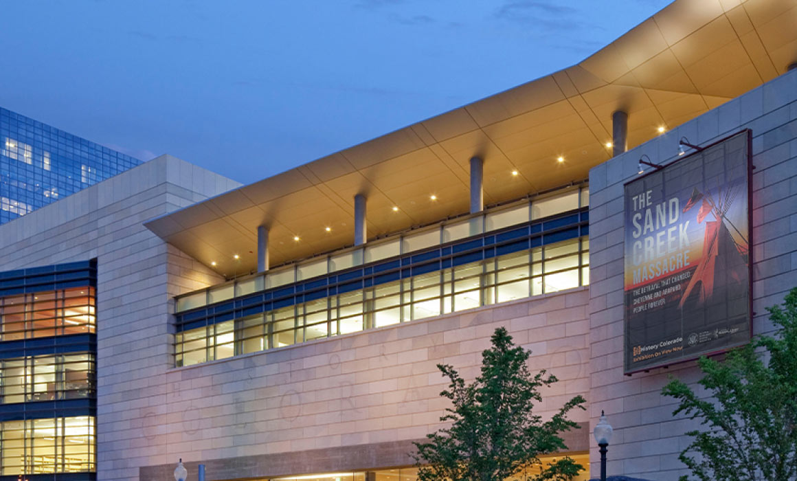
History Colorado Center: ‘Expedition 1776: The Journey of Domínguez & Escalante’ Jul 18 History Colorado Center: ‘Expedition 1776: The Journey of Domínguez & Escalante’ July 18, 2025 - August 2, 2026
Osher Map Library and Smith Center for Cartographic Education: ‘Founding Memories: America at 250’ Sep 8 Osher Map Library and Smith Center for Cartographic Education: ‘Founding Memories: America at 250’ September 8, 2025 - August 22, 2026
Union County Museum: Exhibition of Maps Mar 7 Union County Museum: Exhibition of Maps March 7 - August 31
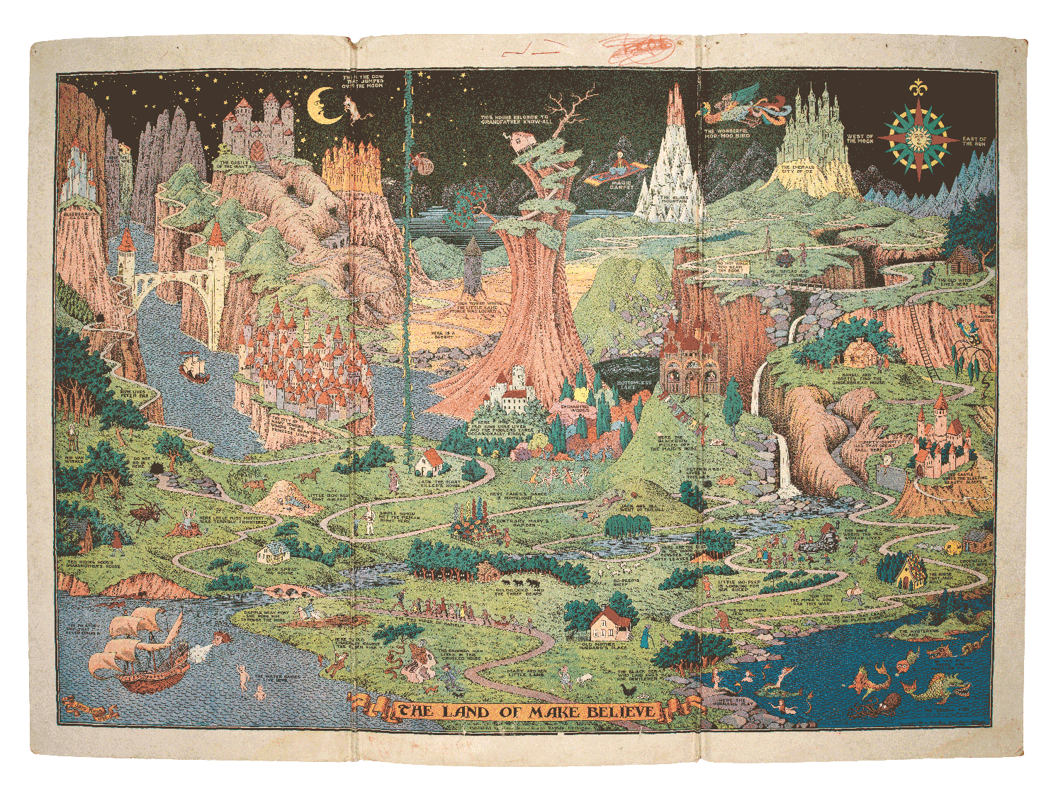
Bibliothèque François-Mitterrand: ‘Cartes Imaginaires’ Mar 24 Bibliothèque François-Mitterrand: ‘Cartes Imaginaires’ March 24 - July 19
David Rumsey Map Center: ‘You Are Here’ Mar 25 David Rumsey Map Center: ‘You Are Here’ March 25 - August 21
Rehoboth Beach Museum: ‘Emerging Delaware: Maps from the Preston Schell Collection, 1628-1868’ May 1 Rehoboth Beach Museum: ‘Emerging Delaware: Maps from the Preston Schell Collection, 1628-1868’ All day
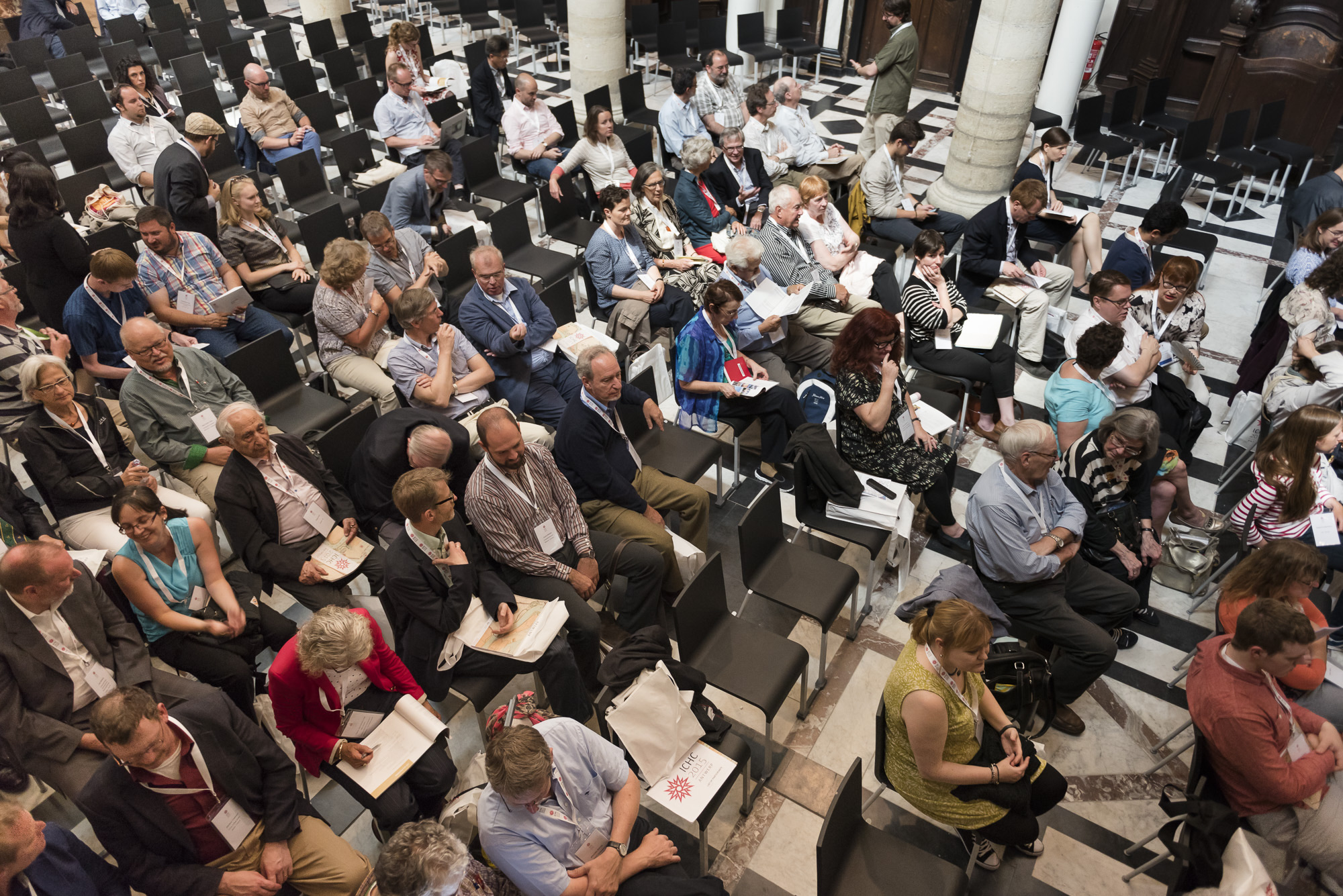
31st International Conference on the History of Cartography Jul 7 31st International Conference on the History of Cartography July 7 - July 11
Society for the History of Discoveries Annual Conference Jul 29 Society for the History of Discoveries Annual Conference July 29 - August 1
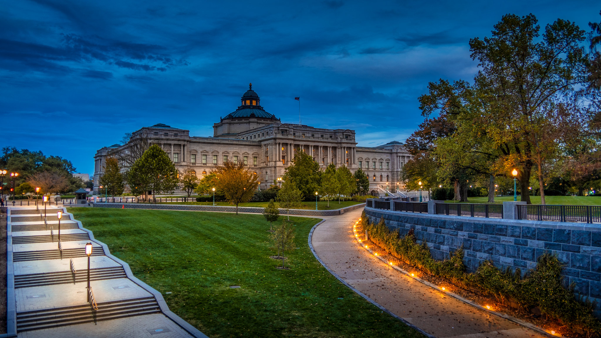
Library of Congress: Geography and Map Division Virtual Orientation Aug 11 Library of Congress: Geography and Map Division Virtual Orientation Virtual Event 3:00 pm - 4:00 pm
Royal Geographical Society / IBG: Annual International Conference 2026 Sep 1 Royal Geographical Society / IBG: Annual International Conference 2026 September 1 - September 4
British Cartographic Society: Annual Conference Sep 8 British Cartographic Society: Annual Conference September 8 - September 9
Washington Map Society: Andrew Kapochunas on ‘How to find an image of ancestral Eastern- or Central-European towns on antique topographic maps’ Sep 10 Washington Map Society: Andrew Kapochunas on ‘How to find an image of ancestral Eastern- or Central-European towns on antique topographic maps’ 7:00 pm - 8:30 pm
Washington Map Society: Gareth Fuller on ‘Walking the Streets of Washington, DC to Create a Unique Map of Place’ Sep 15 Washington Map Society: Gareth Fuller on ‘Walking the Streets of Washington, DC to Create a Unique Map of Place’ 3:00 pm - 6:00 pm
15th Biennial Virginia Garrett Lectures on the History of Cartography: ‘Frozen Frontiers: 500 Years of Mapping Antarctica’ Oct 1 15th Biennial Virginia Garrett Lectures on the History of Cartography: ‘Frozen Frontiers: 500 Years of Mapping Antarctica’ October 1 - October 2
Brussels Map Circle: excursion to Map-Mercator Oct 3 Brussels Map Circle: excursion to Map-Mercator All day
Annual Conference of the Western Association of Map Libraries Oct 7 Annual Conference of the Western Association of Map Libraries October 7 - October 10
Washington Map Society: Chris Lane on ‘Mapping Philadelphia’ Oct 8 Washington Map Society: Chris Lane on ‘Mapping Philadelphia’ 7:00 pm - 8:30 pm
Library of Congress: Geography and Map Virtual Orientation – GIS and Geospatial Resources Oct 13 Library of Congress: Geography and Map Virtual Orientation – GIS and Geospatial Resources 3:00 pm - 4:00 pm
43rd IMCoS International Symposium: ‘Early interactions between the Western world and Japan seen through historical maps’ Nov 9 43rd IMCoS International Symposium: ‘Early interactions between the Western world and Japan seen through historical maps’ November 9 - November 13
Washington Map Society: Kory Olson on ‘Motoring Africa: Michelin’s Road Maps for an Exotic Continent’ Nov 12 Washington Map Society: Kory Olson on ‘Motoring Africa: Michelin’s Road Maps for an Exotic Continent’ 7:00 pm - 8:30 pm