

Talks
Events
-
-
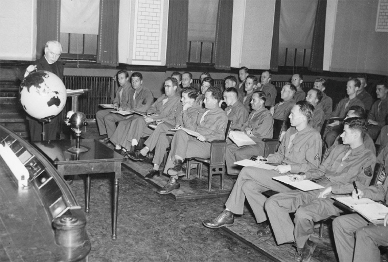
Hosted by the Washington Map Society, this Zoom meeting is presented in partnership with the California, Chicago, New York, Philip Lee Phillips, Rocky Mountain, and Texas Map Societies. Anyone interested in participating in the meeting must RSVP to John Docktor at washmap(at)gmail.com in order to receive the meeting ID and passcode. Meeting will start at 7:00 PM Eastern Time, 6:00 PM Central Time, 5:00 [...]
-
-
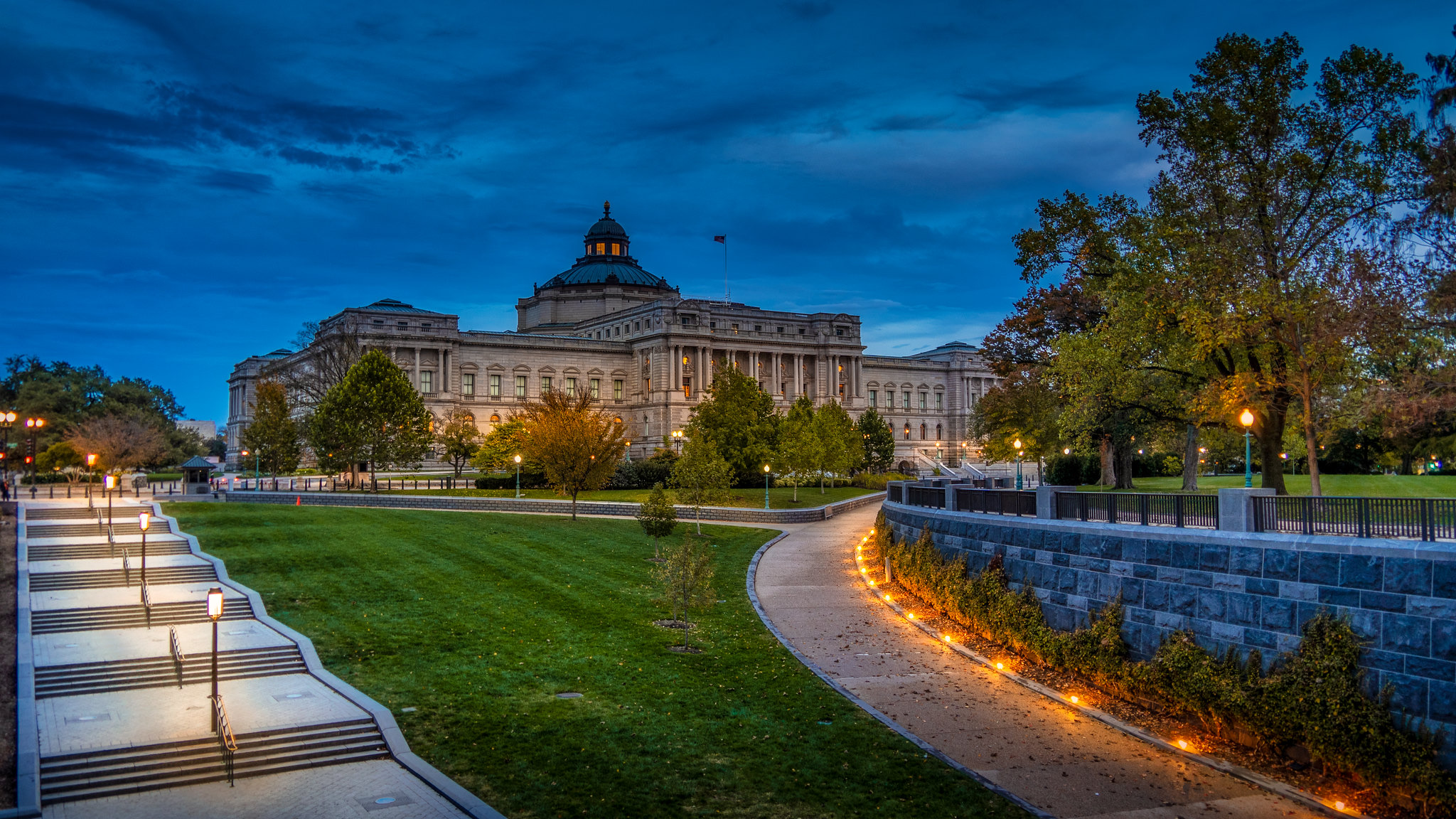
The Geography and Map Division, Library of Congress, is holding a ‘Geography & Map Division Virtual Orientation’ on Zoom. Reference librarians will present an introduction to the Geography and Map collections at the Library of Congress. This general orientation session will highlight a wide range of cartographic formats and subject-matter. The focus of the session [...]
-
-

Blurb: Hosted by the Washington Map Society, in partnership with the California, Chicago, New York, Philip Lee Phillips, Rocky Mountain, and Texas Map Societies, Andrew Kapochunas (New York Map Society Secretary) will discuss ‘How to find an image of ancestral Eastern- or Central-European towns on antique topographic maps’. The talk will be held on Zoom. [...]
-

The Washington Map Society will meet to listen to Gareth Fuller (a British artist and explorer) speaking about ‘Walking the Streets of Washington, DC to Create a Unique Map of Place’. Gareth walks hundreds of miles to create vast, hand-drawn portraits of place. From London and Beijing to Pyongyang and Washington, D.C., his work reveals stories and [...]
-
-

The 15th biennial Virginia Garrett Lectures on the History of Cartography, ‘Frozen Frontiers: 500 Years of Mapping Antarctica’, will take place in the Central Library at the University of Texas at Arlington. Additional details and registration will be available in June 2026.
-

Hosted by the Washington Map Society, in partnership with the California, Chicago, New York, Philip Lee Phillips, Rocky Mountain, and Texas Map Societies, Chris Lane (retired Philadelphia Print Shop West owner and appraiser on Antiques Roadshow) will discuss ‘Mapping Philadelphia’. RSVP to John Docktor (washmap@gmail.com) to receive the meeting ID and passcode.
-

The Geography and Map Division, Library of Congress, will hold a ‘Geography & Map Virtual Orientation: GIS and Geospatial Resources’. Join for a virtual orientation which aims to provide an overview of the geospatial resources of the Geography & Map Division, including an introduction to geographic information systems (GIS), spatial data formats, and the geospatial activities [...]